Building automation
Industrial grade low power wireless connectivity for building automation and sensor networks

Nordic Semiconductor today announces that long-standing customer, Estimote, is using Nordic’s nRF52840 Bluetooth® LE System-on-Chip (SoC) within the Ultra Wideband (UWB) ‘Anchor Beacons’ that sit at the heart of Estimote’s latest ‘SpaceTimeOS’ real-time location system (RTLS).
Estimote describes SpaceTimeOS as “the world’s first operating system for the physical world”. It is said to use multiple wireless technologies to create a digital twin (a virtual representation in real-time of a physical object or process) of any organization, enterprise, office, home, or other environment with centimeter-precise positioning.
This “computer game” representation can then be configured in software to track, monitor, and optimize almost anything a user desires with an ease and simplicity that has not existed in the beacon industry before.
“Over the last 10 years the number one challenge in attaching beacons to anything is that you as the customer had to manually explain to your software system where each one was located,” explains Estimote CEO & Co-Founder, Jakub Krzych. “SpaceTimeOS introduces a new paradigm whereby this process can be automated and people can now very easily digitize their physical environment.

“This immediately increases visibility, including where key assets are located, and how they move and are used. Once armed with this information the possibilities for optimization and high-value customer customization across multiple sites is literally endless: from the safe use of forklifts in warehouses through monitoring occupancy levels in offices to wayfinding in large museums and buildings.”
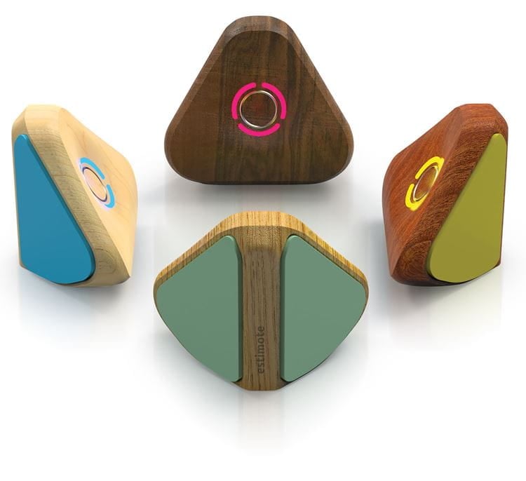
In operation, SpaceTimeOS uses Estimote Anchor Beacons placed in the corner of rooms that communicate with each and the Cloud using a combination of Bluetooth LE and cellular IoT wireless technology. These spatially-aware beacons use UWB time-of-flight technology to compute their relative position to each other and map the exact dimensions of the room automatically. Any asset that has an Ultra Wideband (UWB) tag— available from Estimote and a range of other vendors—will immediately appear on that map.
Each Estimote Anchor Beacon also features a pressure sensor (altimeter) to detect height above ground, inertial sensor (gyroscope) to streamline installation and not activate while moving, and temperature.
In the enterprise space, this allows companies to digitize entire buildings such as factory floors and warehouses and build customized software to track all their key assets in real-time. Estimote claims there is no upper limit on the number of assets that can be tracked with SpaceTimeOS.
SpaceTimeOS employs the common JavaScript language with the application itself running on the Nordic nRF52840 SoC’s internal Arm processor. This means it is compatible with thousands of existing asset tracking and optimization apps available on the many JavaScript marketplaces. Or users can build their own app if they have the necessary know-how using Estimote’s own application programming interface (API).
“SpaceTimeOS has the potential to take beacons mainstream in a way that simply wasn’t possible before now,” summarizes Krzych. “An increasing proportion of our customers want all the benefits of beacons don’t want to become technological experts in beacons. SpaceTimeOS was built for them.”
SpaceTimeOS is scheduled to start shipping this summer and can be pre-ordered now directly from Estimote.
Industrial grade low power wireless connectivity for building automation and sensor networks